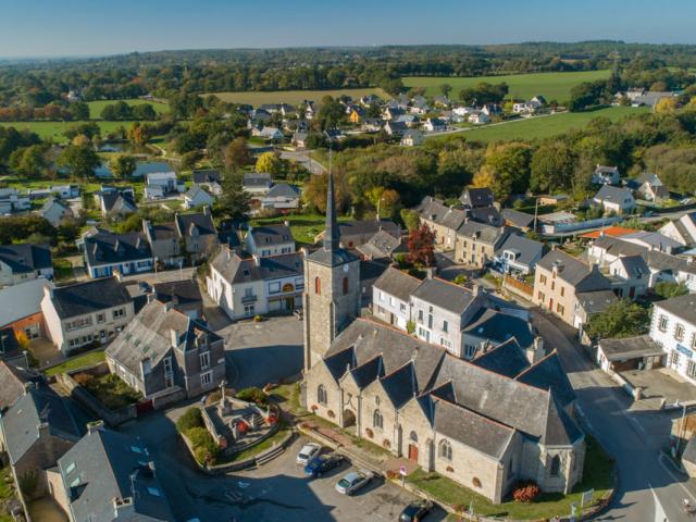




Berric comes from the first lord of the place who was called Guillaume de Berric or Berry (13th century). The Vikings devastated the country in 888. The Count of Vannes Alain I, allied with Judicaël, Count of Rennes, crushed them in the moors of Questembert. Berric became a parish around the 10th century. Berric depends on the diocese of Vannes and has as a titular St Thuriau. In 1272, Guillaume de Berric, son of Geoffroy, esquire, received from the monks of the abbey of Prières, for a cens of 6 sous, the mill of Bois, in the parish of Berric.
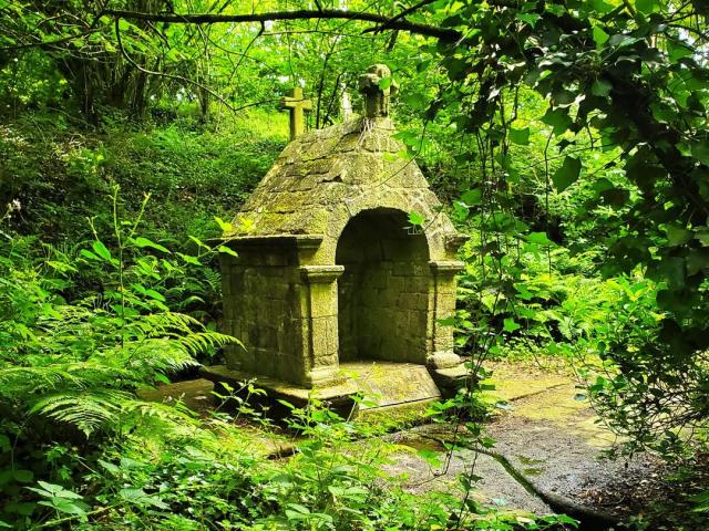
Mainly religious with the parish church dedicated to Saint-Thuriau (17th and 20th centuries), the chapel Notre Dame des Vertus, a fine example of flamboyant Gothic architecture and its beautiful fountain at 600m, not to mention the chapel Notre Dame de Bon Secours and its fountain in the village of Kercohan. These two chapels are classified as Monuments Historiques.
The commune of Berric, after approving the park’s charter, is currently in the process of being integrated into the classified territory of the Parc Naturel Régionaldu Golfe du Morbihan. This is the 50th Regional Nature Park created in France. They are created to preserve and enhance exceptional inhabited areas by the richness of their natural, landscape and cultural heritage.
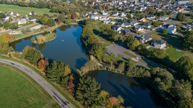
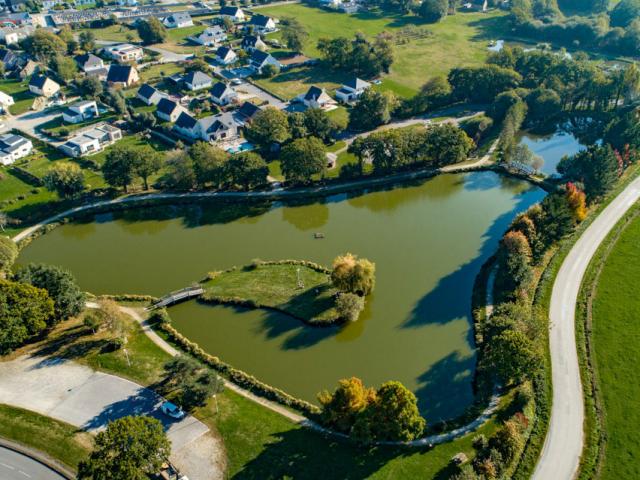
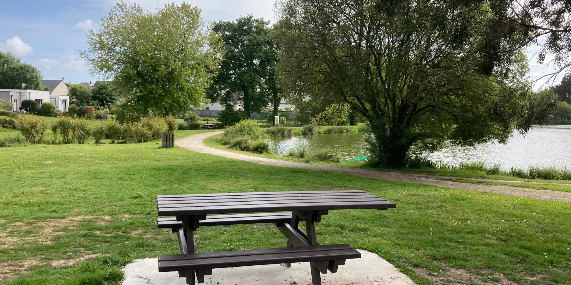
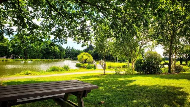
Berric offers outdoor activities for relaxation, such as hiking with the Boucle des Vertus circuit to be walked, biked or ridden depending on your desire.
From the prams, it is possible on a clear day to see the Golfe du Morbihan in the distance. This circuit can be linked to the trail of the Popinettes on Questembert (3km), the circuit des Templiers au Gorvello (8km) or the circuit des Vieux villages de Sulniac. Learn more.
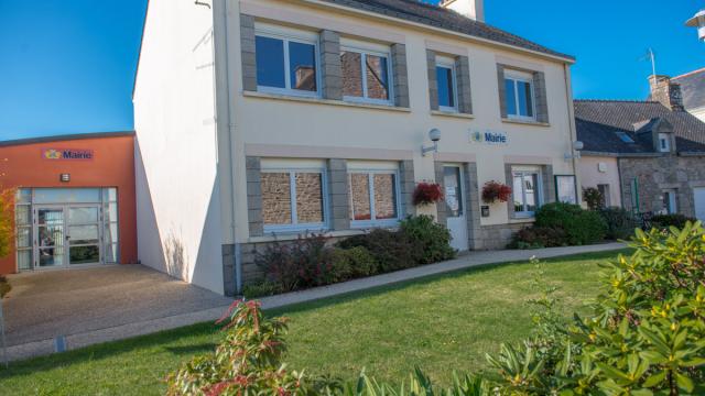
Check out the opening hours
16 place de l’église
56230 BERRIC
02 97 67 01 37
mairie@berric.fr